
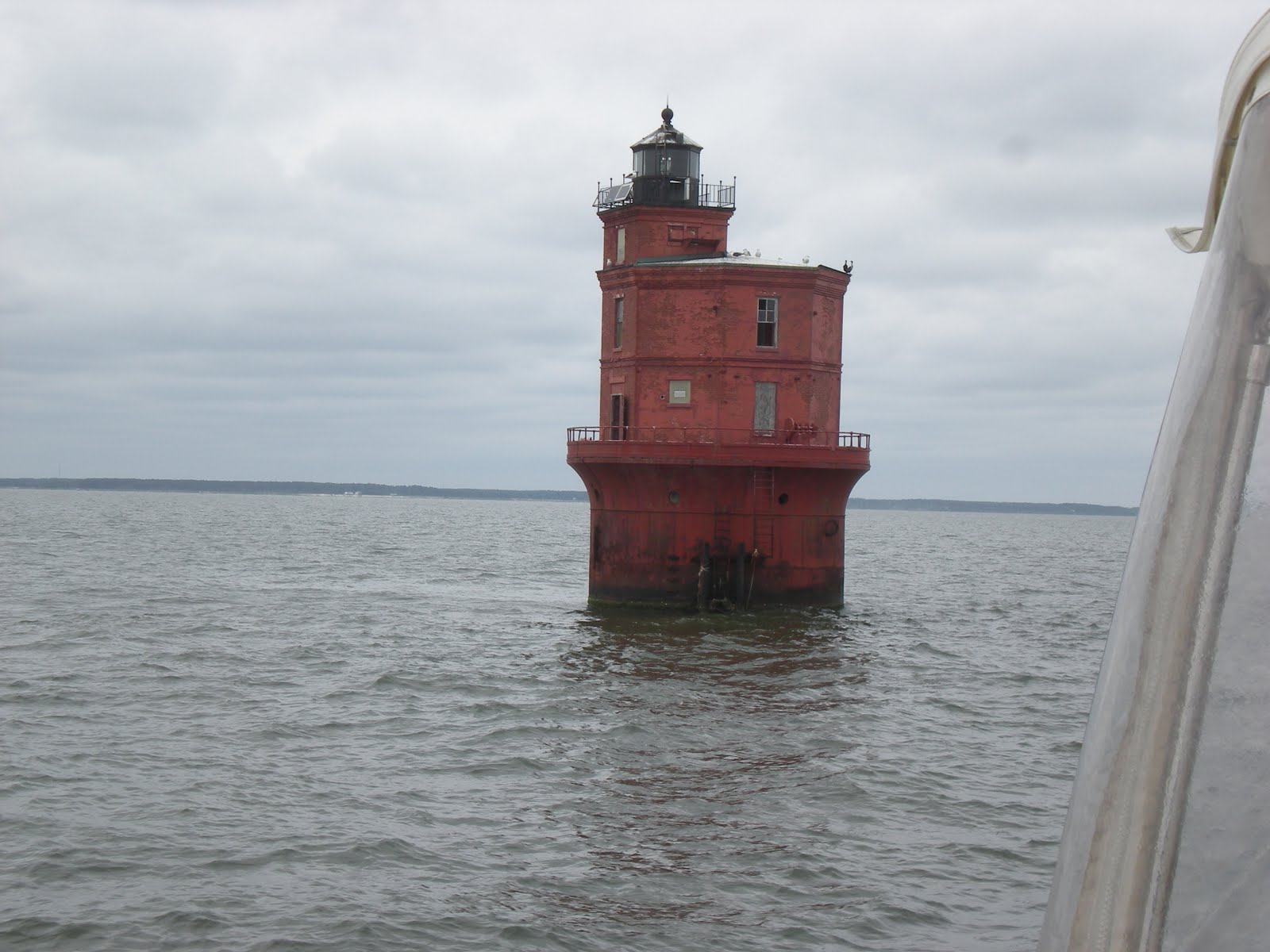
Now we actually needed to read the navigation charts and plot out a course. And we had to look for waypoints and use the compass to move us along instead of following the markers. Here is a photo of the first waypoint we came to in the Chesapeake--I think it looks like a dwarf lighthouse, which is what it really is. They aren't very tall as you can see in relation to our boat on the far right:


At the end of our first day on the bay, we found ourselves in a little town called Deltaville on the western shore. There's not much there other than a lot of businesses associated with boating and so we stayed put at the marina and enjoyed wine and cheese (and then more wine) with our fellow boaters:

Can you find me? Art?

This was the dockmaster's office and we partied on that porch.

And here we are, first boat on the left, all tied up just a short stagger away from the party area. Most of the other boats there were also doing the loop so we were among friends.
Early the next morning, we were off to our next stop, Solomons, Maryland. On the way, we passed the mouth of the Potomac River which marks the boundary between Virginia and Maryland. If we had the time, we would have loved to cruise up the Potomac all the way to Washington, D.C., but we will have to save that for another trip. Solomons will be my next post.


No comments:
Post a Comment